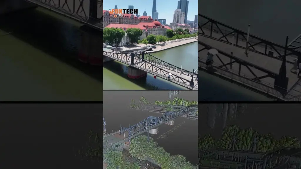
Slam100 Handheld Laser Scanner| Revolutionizing Data Capture| Jintang Bridge Scanning Showing
👏The SLAM100 #Handheldlidarscanner is a revolutionary device that has taken the world of surveying and mapping by storm. This compact and portable scanner utilizes LiDAR technology to capture highly accurate 3D point cloud data, making it an essential tool for professionals in various industries.#pointclouddata #3d
👏The SLAM100 is designed to be handheld, allowing users to easily navigate and scan their surroundings. It is equipped with a high-resolution LiDAR sensor that can capture up to 300,000 points per second with a range of up to 100 meters. This means that it can quickly and accurately scan large areas, making it ideal for applications such as #constructionmonitoring #indoormapping, and archaeological surveys.
👏One of the standout features of the SLAM100 is its real-time SLAM algorithm. This algorithm combines the LiDAR data with the device’s inertial measurement unit (IMU) and camera to create a live 3D map of the environment as the user moves. This allows for instant feedback and visualization of the scanned data, ensuring that the desired areas are adequately covered.
👏Additionally, the SLAM100 is equipped with a built-in GPS receiver, which further enhances its mapping capabilities. The GPS data can be integrated with the LiDAR data to provide accurate georeferencing, making it easier to overlay the scanned data onto existing maps or models.
🙌In conclusion, the SLAM100 Handheld LiDAR Scanner is a game-changer in the field of surveying and mapping. Its compact size, high accuracy, and real-time SLAM capabilities make it an invaluable tool for professionals in a wide range of industries. Whether it’s for construction, #archaeology, or indoor mapping, the SLAM100 provides a fast, efficient, and accurate solution for capturing detailed 3D data.#laserscanner ##LiDAR #ScanningTechnology #SLAM100 #HighPrecision #VersatileScanning
https://www.foxtechrobotics.com/Handheld-Slam100-3d-Point-Cloud-Modeling-Mobile-Mapping-Rtk-Lidar-Laser-Scanner-for-Mapping
Lien vers la source


